Summary
Teams will arrive at Beresford Park in Deland and drop their bikes. They will receive UTM coordinates for 2 foot CP’s that they will be able to visit as they head on foot to French Landing and the second paddle leg – also part of this segment. The paddle leg will take them around the west side of Hontoon Island via Snake Creek to Dead River and then to the St. Johns River heading past the SR 40 bridge and Ocala Riverside Park.
TA2 – Lake Beresford Park
(Thursday 2 PM – 5 PM)
There will be NO Bin access at TA2 Lake Beresford Park. This park has bathrooms and water will be available. All teams must leave Lake Beresford Park before 5 PM. Teams arriving after 4:30 PM will be rerouted on bike directly to the boats at French Landing.
Segment 4 – Lake Beresford Park to French Landing
(4 miles, 1-2 hours)
Teams arriving at Lake Beresford Park prior to 4:30 PM will be given the UTM Coordinates and descriptions of CP11 and CP12.
Teams will trek approximately 4 miles from Lake Beresford Park to the boats at French Landing collecting CP’s 11 & 12 along the way. Paddle bags will be available at the boat launch. Bins will not be available at French Landing.
Maps Set – Foot II & Boat II
| CP11 – UTM Coordinates at Beresford | CP12 – UTM Coordinates at Beresford |
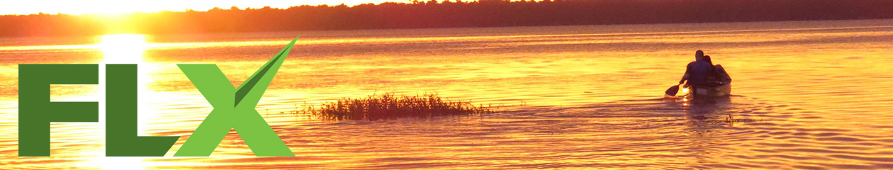
Segment 5 – Snake Creek Paddle
(11 miles, 3-4 hours)
Teams will now paddle through incredible Snake Creek and around Hontoon Island to the Ocala River Forest Camp TA collecting CP’s 13 & 14 along this amazing night paddle. CP14 is accessible via the Waypoint on the West Side of Hontoon Island and following the blazed trail to the mound.
Map Set – Foot II & Boat II
| CP13 – Snake Creek Entrance | CP14 – Indian Mound on Hontoon Island (Photo) |