Summary
After riding the bus across the state and getting a last minute chance to work through the course, teams should arrive in Ponce Inlet around 9 AM. From here they will head past the lighthouse and to the Jetty – and then North up the beach. Spectators should be get to see some awesome pictures of the teams as they complete the photo scavenger hunt in Ponce Preserve before heading for Ponce Inlet Marina and the canoes. They will then paddle through the Spruce Creek Preserve towards Doris Leeper Park, their bins and the next bike leg.
Start – Ponce Inlet Run to Paddle
(Thursday 9 AM)
Segment 1- Ponce Inlet Photo Scavenger Hunt
(3 miles, 1 – 1.5 hrs)
You will be dropped off at the Ponce Inlet Lighthouse Point Park, Bins will not be available at the start location, you will have access your bins at TA1, after the paddle . You will need a working camera to complete the CP-2 photo scavenger hunt. Successfully completing the scavenger hunt will be worth one CP.
Start Instructions
After CP-1 proceed on foot to Ponce Inlet Preserve (CP-2). You may enter the Ponce Inlet Preserve from the beach. You will need to take 5 photographs of members of your team at the locations located within the preserve. You should display at least one team member & your team number in all photos. You can find the locations by following the signs along the trail network in the preserve. You will need to cross Peninsula Drive and Atlantic Ave to get all 5 photos, please use caution while crossing or traveling on the roads.
Photo Locations:
- At the river pavilion at the far west end of the boardwalk.
- Between the 2 bears at the main Ponce Inlet Preserve entrance
- In front of the Green Mound Oak
- At the Overlook in the main preserve
- At the beach side pavilion east of Atlantic Ave
Upload the photos to gemspots.com/flx or show them to Race Staff at the boat launch for credit.
After taking the photos, proceed to the beach and head south towards Inlet Harbor Marina where you will have access to your Paddle Bags. Bins will not be available until you reach the end of the paddle at TA1.
Map Set – Foot I & Boat I
| CP1 – Record year on benchmark at end of jetty | CP2 – Complete photo scavenger Hunt |
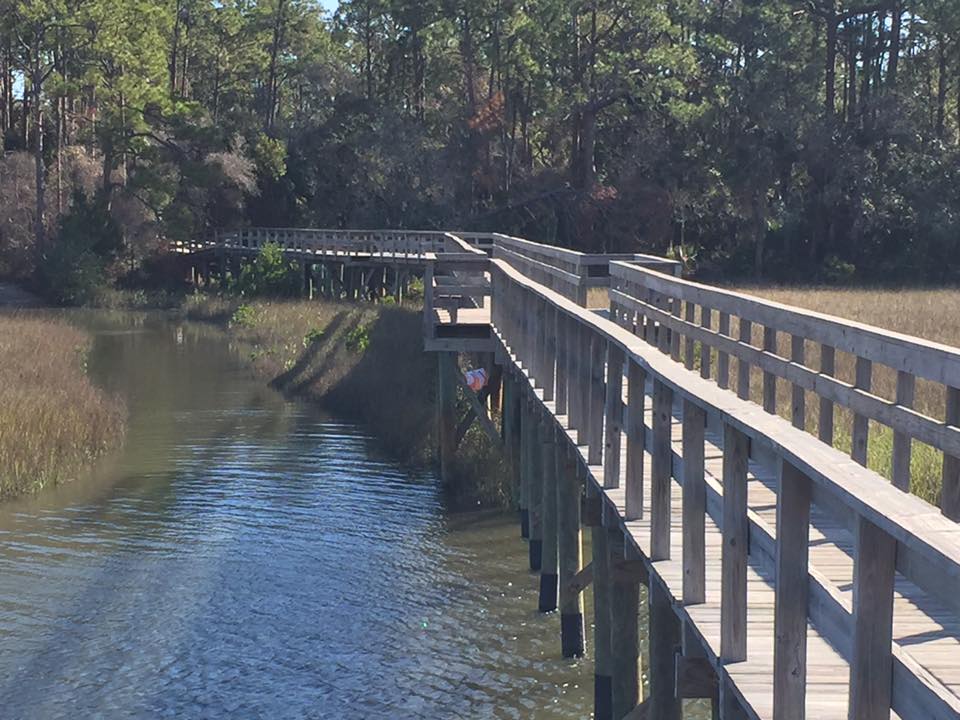
Segment 2 – Spruce Creek Paddle
(8.5 miles, 2.5 hrs)
This short paddle will take you through the intracoastal waterway to through the Spruce Creek preserve. This is an incredible saltwater estuaries with plenty of wildlife and should be quite active during this morning paddle. Both checkpoints along this route will be traditional control flags.
Map Set – Foot I & Boat I
| CP3 – Entrance of Murray Creek | CP4 – Spruce Creek Park Pavilion
|